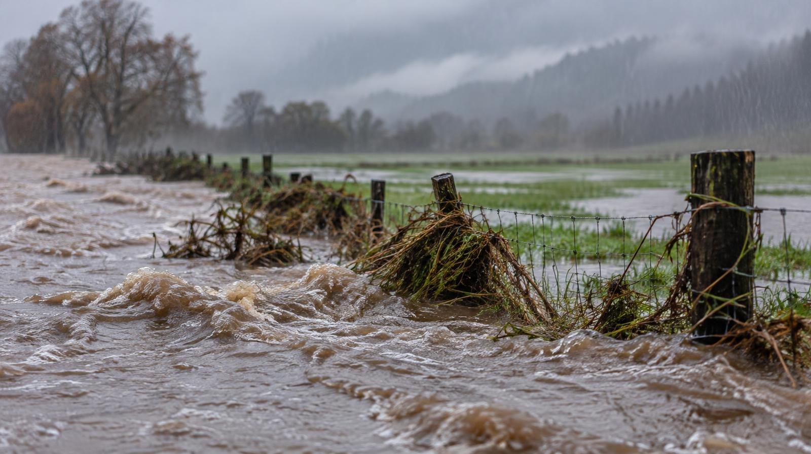
Several inches of rain could fall on Everett and the broader Puget Sound region as an atmospheric river heads toward Western Washington.
The storm system, described as Pineapple Express in scale, is forecast to hit the region from Tuesday, Nov. 10, through Thursday, Nov. 12, as first reported by the Everett Post.
Reporter Phil Vandervort wrote that the National Weather Service (NWS) says "several inches of precipitation are possible in some areas that could lead to flooding." The NWS is forecasting the storm's impact from Northern California to British Columbia.
High coastal winds and mountain snow at higher elevations are also part of the forecast. Specific rainfall totals and freezing levels for the Puget Sound lowlands have not been determined, according to My Bellingham Now.
No flood watches yet, but soils are saturating
The NWS Seattle office's Area Forecast Discussion, issued Thursday afternoon, said river flooding is not expected through the next seven days.
But the forecast noted that a series of wet weather systems "will begin to saturate soils and raise base flows that could bring a concern with subsequent storms systems into next week."
As of the county's Oct. 23 update, no flood watches or warnings were pending for Snohomish County rivers, according to the Public Safety Hub. The hub noted that the page would be updated as conditions change.
That matters in Snohomish County. More than 75,000 people live and work in flood-prone areas, according to the county. The Snohomish and Stillaguamish river basins flood on average every three to five years. Creeks draining through south Everett, Mill Creek, Lynnwood and Bothell also carry flood risk.
December 2025 flooding still fresh
In December 2025, a series of atmospheric river storms triggered record-high flooding along the Snohomish River and major flooding along the Stillaguamish River, according to county records. Rivers stayed at or above action stage for more than 11 days.
Floodwater covered 36,000 acres, or about 56 square miles. Four areas of the county faced evacuation orders affecting nearly 800 people. Damage topped $18 million to roads and public infrastructure, with about the same amount to private property and businesses.
Wind advisory ahead of Nov. 10 storm
Before the Nov. 10 atmospheric river, a separate frontal system is bringing gusty winds to the area. The NWS issued a Wind Advisory for northwestern Snohomish County, Island County, western Whatcom County, western Skagit County and San Juan County from 4 a.m. to 4 p.m. Friday, Nov. 6.
South winds of 20 to 30 mph with gusts up to 50 mph are expected. The NWS warned that gusty winds will blow around unsecured objects and that tree limbs could be blown down, possibly causing power outages.
How to prepare
Snohomish County's Department of Emergency Management (DEM) urged residents in an Oct. 26 advisory to prepare before flood season hits. The county recommends three steps:
- Know your area. Check the Snohomish County Hazard Viewer at snoco.org/hazards to see if your property sits in a floodplain.
- Have a plan. Map alternate routes in case your neighborhood floods. Build an emergency kit.
- Stay informed. Sign up for SnoCoAlerts at smart911.com to receive emergency notifications. Bookmark the county's Public Safety Hub at snoco.org/safety for real-time updates during emergencies.
Residents can also monitor river levels through the county's Real-Time Flood Information System at snohomish.onerain.com, which offers email and text alerts when gauges enter flood phases.
To report clogged drains or culverts, call Snohomish County road maintenance at 425-388-7500 during business hours. For flooding emergencies after hours, call 911. The DEM can be reached at 425-388-5060 during office hours or 425-320-9189 after hours.